If the information answers the question, “Where is it?” then it can be used in GIS.
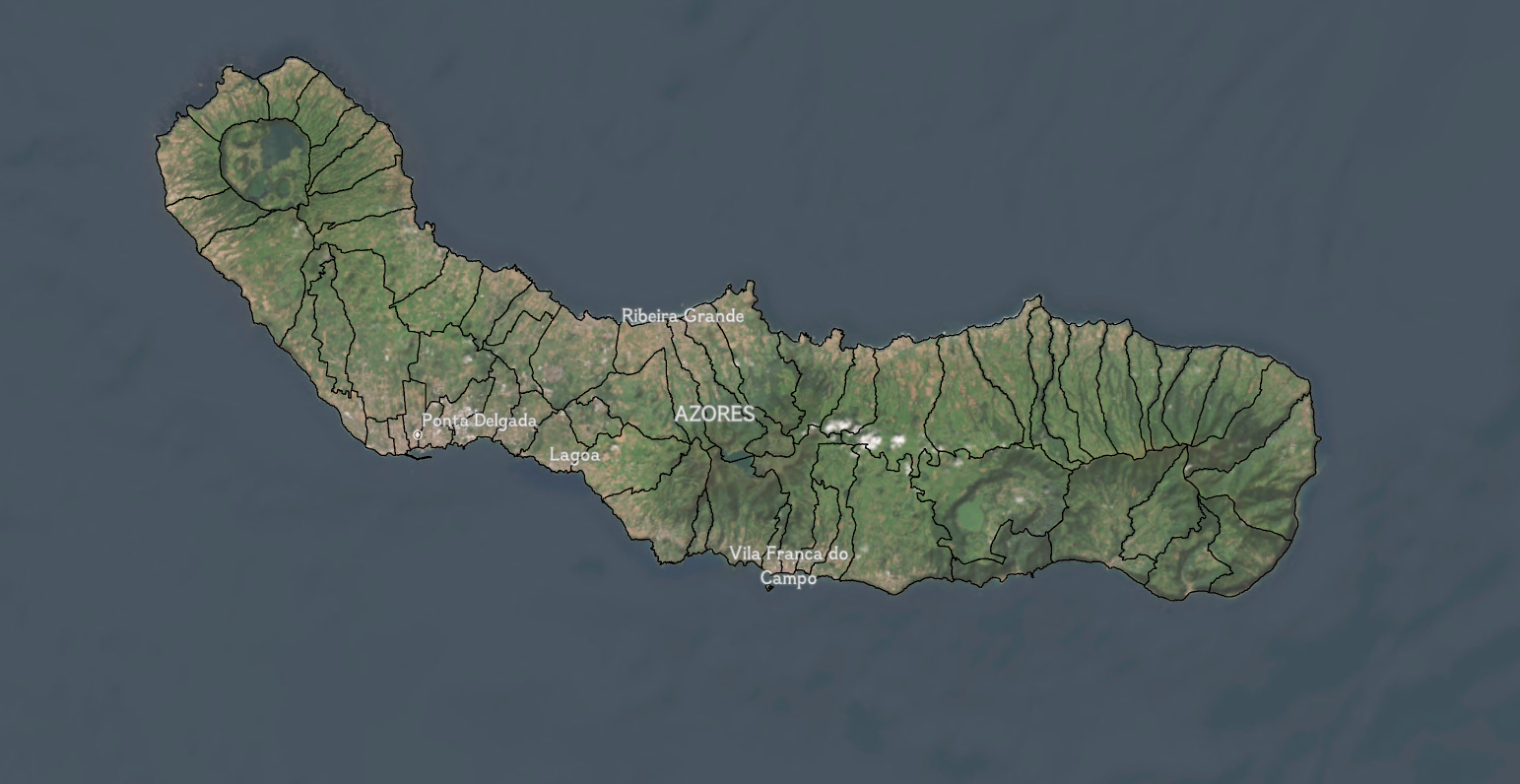
In my research here in the Azores, I use GIS to combine many different layers of spatial data, almost like stacking sheets on top of each other. One layer might show roads. Another might show towns and population. Another might show where electricity is available. When I look at all the layers together, patterns start to appear. These patterns help us figure out the best locations for EV chargers so that they are easy for people to reach and useful for the community.
But GIS is not just about computers and maps. It is also about people. I meet with local community members, and they share the places that matter most to them. Then I add their knowledge into the GIS so that the final maps reflect the community's needs.
GIS is used all over the world to solve important problems like studying climate change and natural distasters, designing safer streets and protecting wildlife. Next time you open a map, I encourage you to think about all of the layers of information beneath it.
From the Azores,
Priya Talreja