Scientists who use those images don’t always understand what they are seeing because they have not been “ground-truthed”. Our team will take photos and make physical observations, noting what type of sea ice is around the ship. We will then compare these “ground-truthed” observations to the satellite imagery, with the idea of understanding exactly what the satellite is “seeing” when there are no ships in the region to compare observations against.
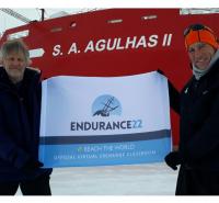
Here in Cape Town, South Africa, we are looking forward to the expedition and sharing our experiences with you!