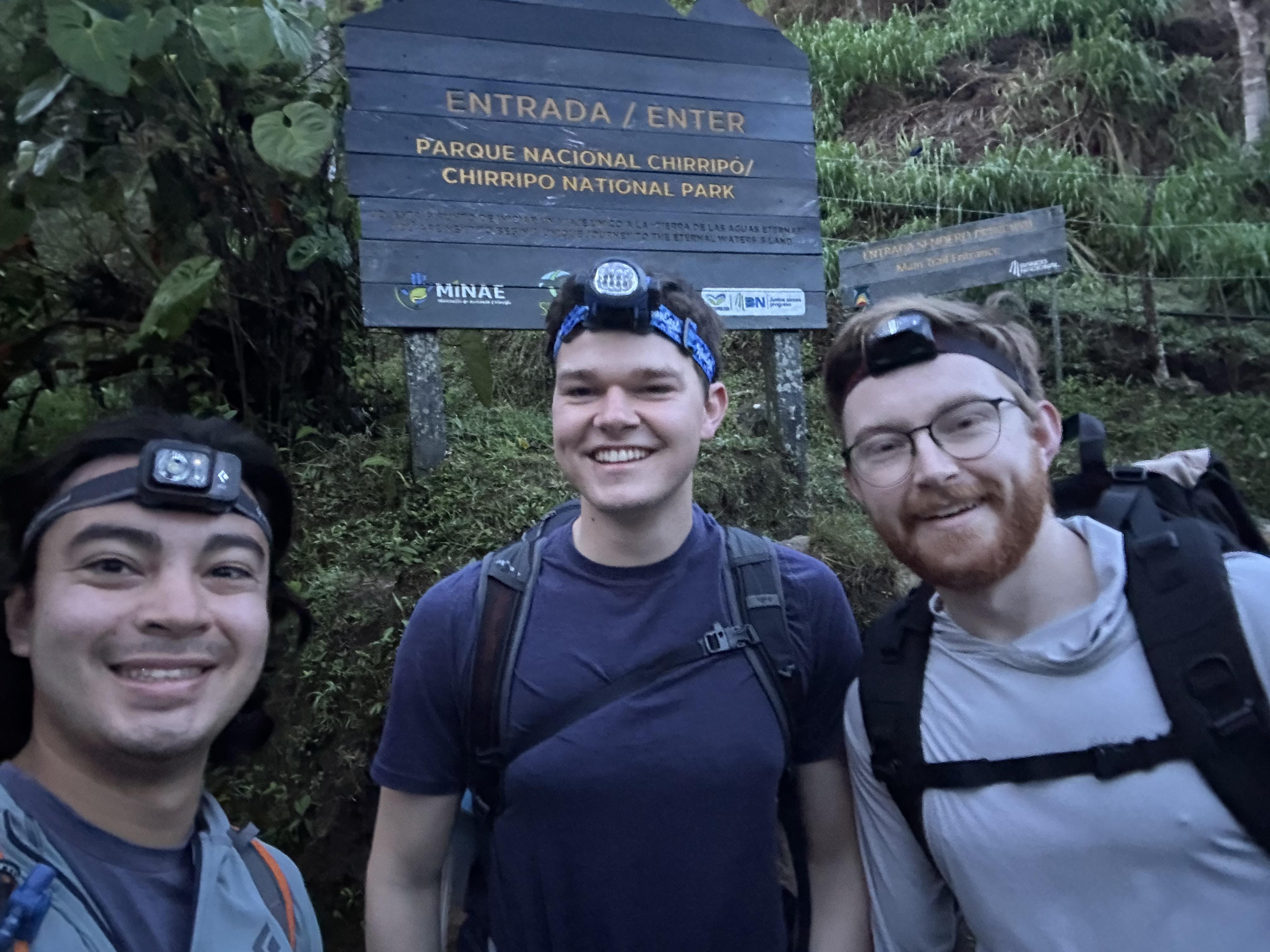
At the beginning of May this year, two of my best friends from college decided to fly down from the U.S. to hike with me to the highest point in Costa Rica. The tallest point of Costa Rica is called Mt. Chirripó (or Cerro Chirripó), and is located in the middle of the country in the province of Cartago. At its peak, Mt. Chirripó is 3,820 meters (or 12,533 feet) above sea level! The hike took us two days to complete, and throughout the rest of this journal I’ll talk about what our journey to the top looked like!
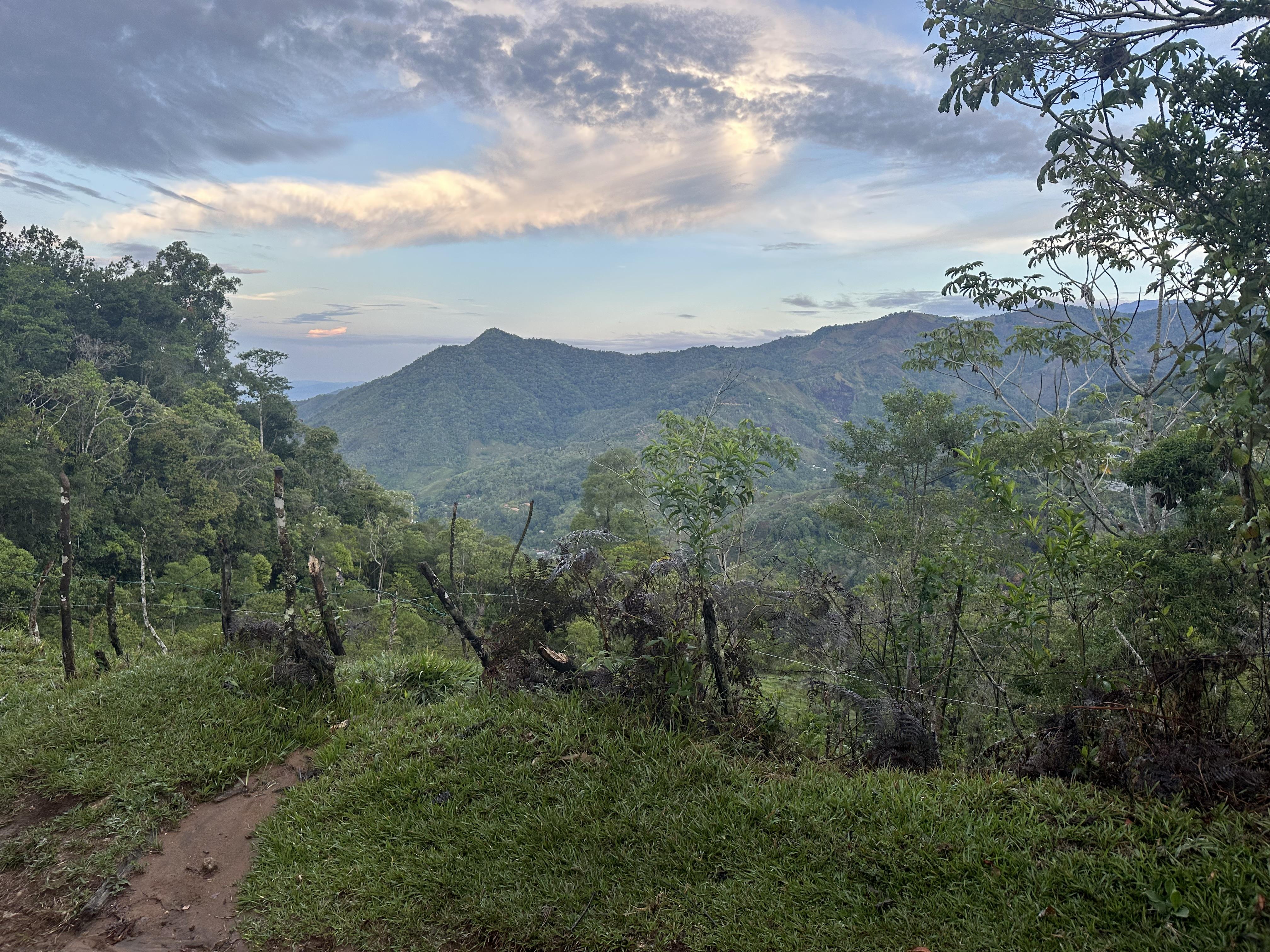
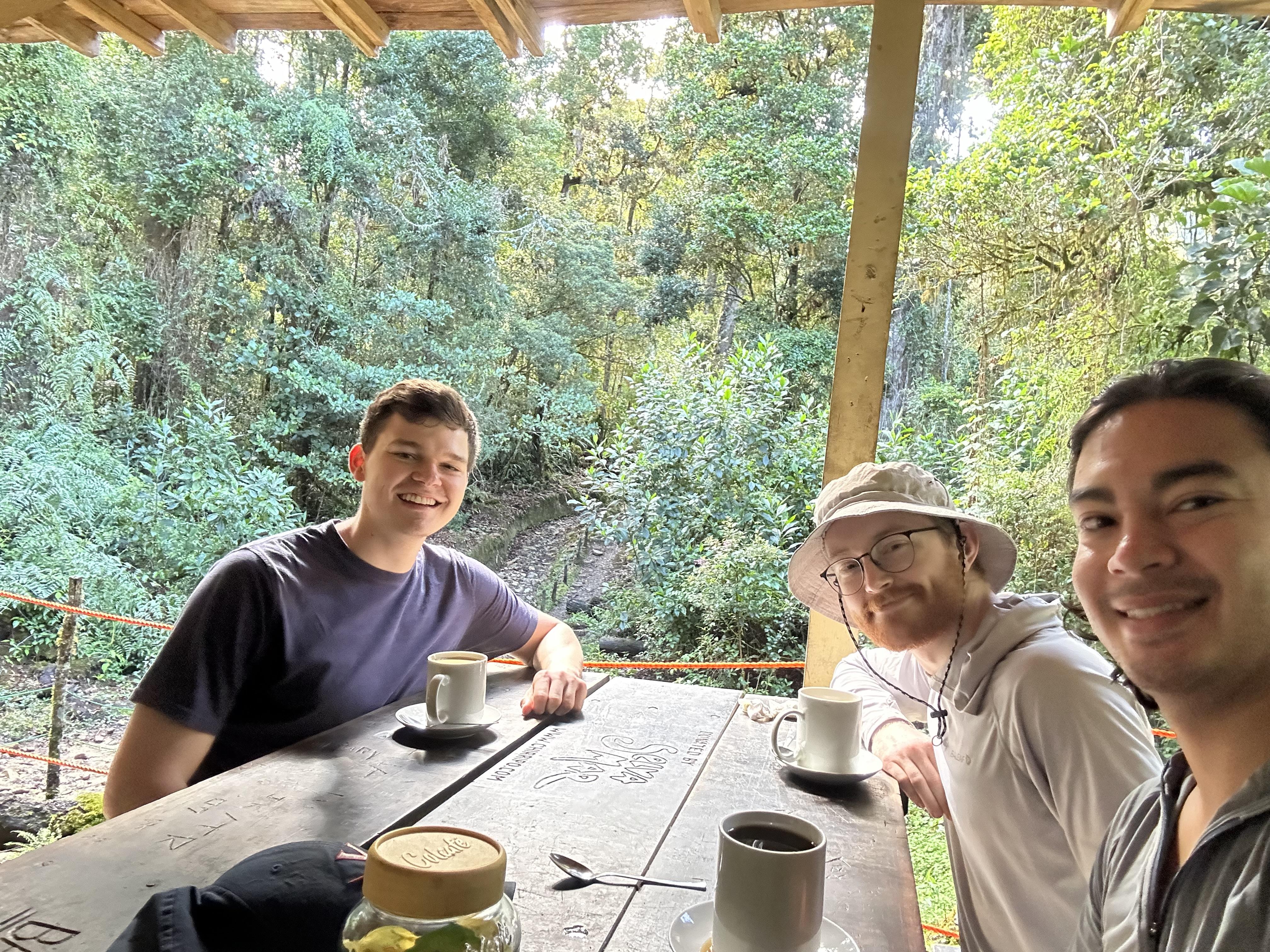
Day 1: We woke up at 4 am to begin our hike. We put on sweaters and sweatpants since it was a bit cold at this point in the morning. We then packed our hiking bags with snacks, water, emergency supplies, and extra clothing. Once we were ready, we headed to the entrance of the hike, which is also the entrance of Chirripó national park. We started the hike around 5 am. The early stages of the trail took place in a rainforest environment. There were many tall trees with lush green leaves and vines hanging from their branches. Moss and fungi covered the trunks of the trees. The trail itself was muddy from rainfall the night before. We hiked for about 1.5 hours, before stopping to take a break and eat the breakfast that we had packed. We ate wraps with eggs, beans and rice.