Dear class,
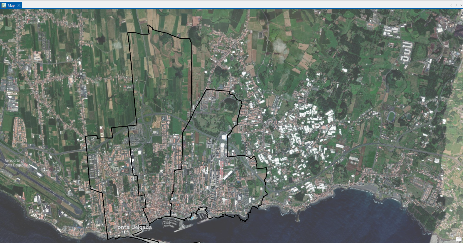
When I first met you, I told you that I am doing research in the Azores about helping communities decide the best places to build electric vehicle (EV) chargers. Today, I want to explain one of the most important tools I use to do this work: Geographic Information Systems (GIS).
Imagine you are looking at a map on your phone. You can see roads, restaurants, parks and your location all at once. Now imagine that instead of just looking at the map, you could also ask questions like: Where do the most people live? Where are there already charging stations? Which areas have electricity access?
GIS is a special kind of technology that helps us do exactly that. It allows us to collect, store and analyze information that is connected to places on Earth.
The information that GIS uses is called spatial data. Spatial data is any information that tells us something about a location. For example, the location of a school, the path of a road, the shape of a coastline, or even the number of people living in a neighborhood are all types of spatial data.