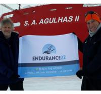
Agulhas II will deploy Argo floats and wave Spotter buoys on the journey between Cape Town, South Africa, and the site of Shackleton’s ship in the Weddell Sea. This is a huge opportunity to collect data on the more than 4,000 miles (6,400+ kilometers) of ocean between these two points.
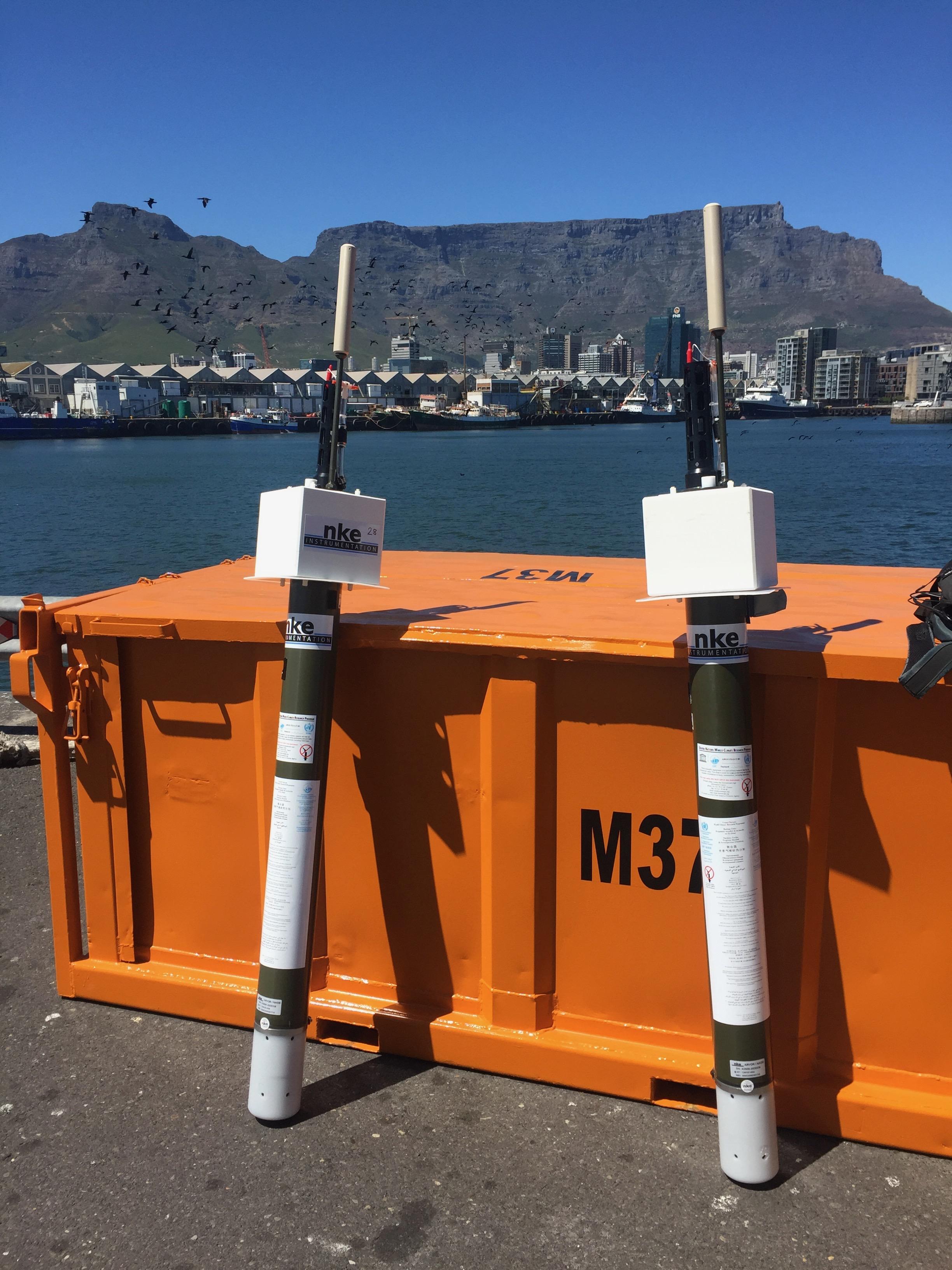
Argo floats collect data from the water column, sinking to 3,300 feet (1,000 meters) below the surface and then again to 6,500 feet (2,000 meters) every 10th day of its cycle. Once the float reaches those depths, it switches on its sensors and collects pressure, temperature and salinity(amount of salt in the water) data all the way back to the surface. The Argo float then uploads the data to a satellite, which sends it onto the base station on land, making the data available to scientists all around the world within 24 hours! The Argo float is free-floating, so in the nine days between sinking cycles, it will float wherever the currents take it, allowing scientists to do additional studies on water circulation or movement. There are nearly 4,000 of these floats all around the world’s oceans collecting data all the time! Can you imagine the amount of valuable data being collected each month, each year, each decade and beyond?
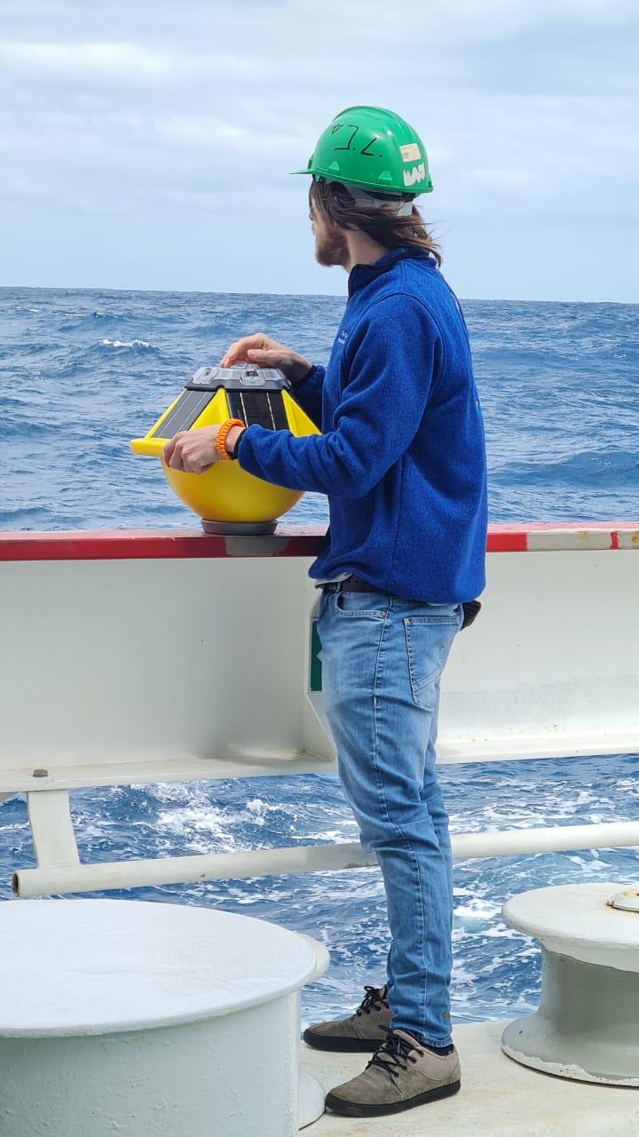
With these Argo floats “taking the pulse” of the ocean, scientists are able to determine how much the oceans are warming due to climate change and how much this warming is related to sea level rise, particularly for low-lying regions and island states. Argo floats are sometimes equipped with some incredible additional features and sensors, including an algorithm which can detect (while the Argo float is rising to the surface) whether there is sea ice above it, allowing it to stop in time and not damage its sensors.